



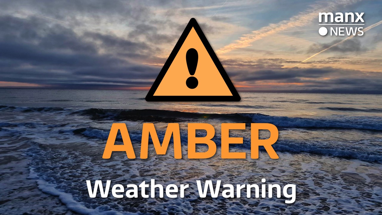
An amber weather warning for ice and wintry showers has been issued for the Island.
Forecasters at Ronaldsway Met Office said very cold air will become re-established late this evening and overnight into Wednesday as a cold front clears the island.
Temperatures falling sub-zero over the hills (above 1200 FT) from 9pm and then all island from around midnight, away from immediate coastal areas (wind N to NW’ly). Given the precipitation during Tuesday this is likely to lead to widespread ice on untreated surfaces.
Ronaldsway Met Office
In addition isolated wintry showers may affect the island at times overnight leading to locally slight accumulations of snow (0-3cm).
During Wednesday higher ground (above 800 FT) staying below ZERO all day and low-level temperatures only slowly rising to a maximum of 3°C in the afternoon.
The warning will be in force from 9pm (Tuesday) until 3pm on Wednesday.

7 Comments