




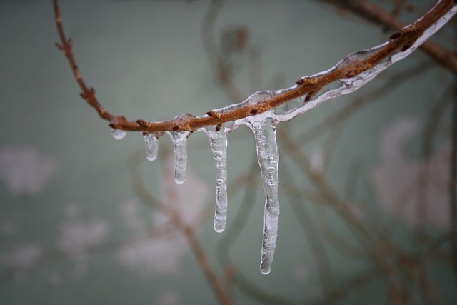
A yellow weather warning has been issued for ice and further hill snow.
Forecasters at Ronaldsway Met Office said areas most likely to be affected is roads over higher ground.
Temperatures over high ground (1000-1400 feet and above) will continue to be around freezing for the rest of today, overnight and tomorrow morning. With further rain expected to also continue until early tomorrow morning when it will peter out, there is the continued risk of sleet or snow on roads above 1000FT. However with this falling onto widely treated surfaces and being generally wet/sleety in nature only slight slushy accumulations are expected.
This warning is mainly for the risk of ice towards the end of tonight and tomorrow morning. The concern being that the rain/sleet/snow may have largely washed away any grit by this time resulting in ice forming in places over the higher ground. These roads will most likely need monitoring and retreating during the early hours of the morning once the rain has largely cleared.
The warning will be in force until 10am tomorrow (Saturday).

7 Comments